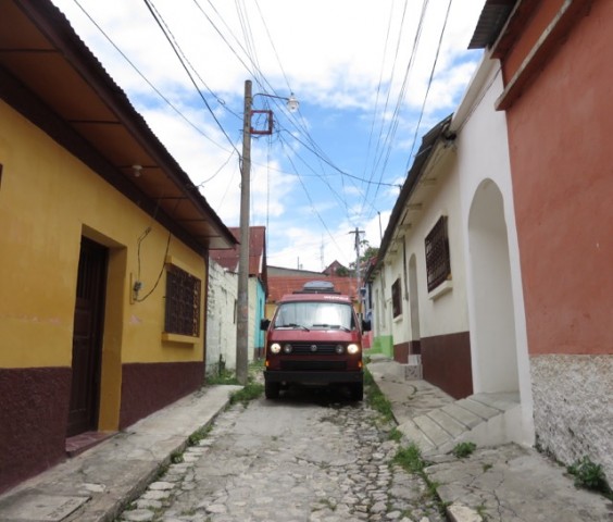
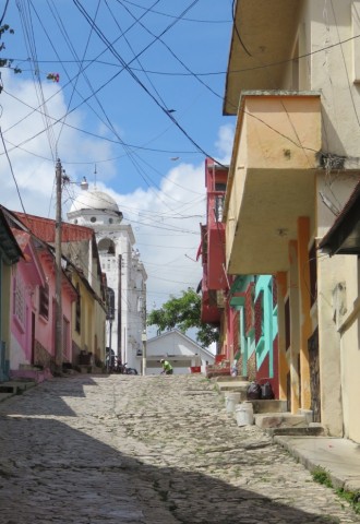
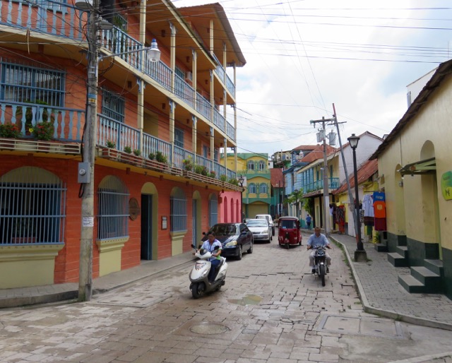
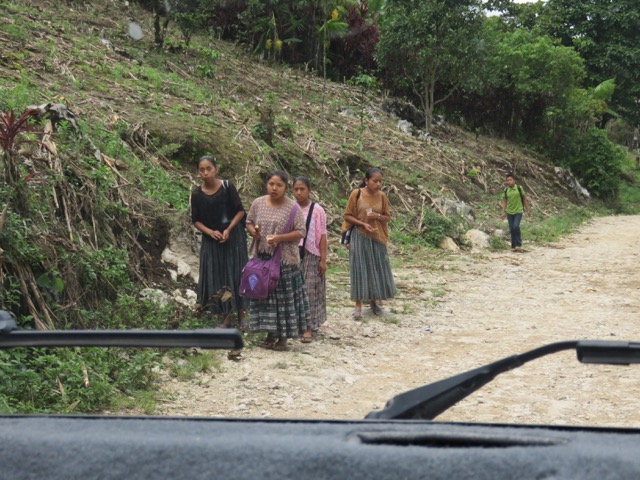
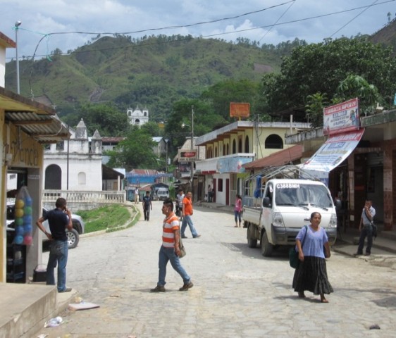
Guatemala has some of the most interesting places that we’ve seen on our Pan-American journey so far. But getting to these places has not always been easy. To reach them, we have driven up steep roads, climbed up steep steps, and endured many long stares.
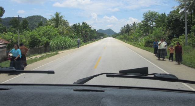
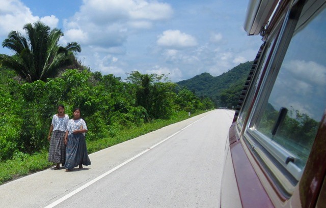
Yes, we get stared at a lot in Guatemala. As Gregor and I walk through towns and villages, we can see and feel that people are following us with their gaze.
People don’t stare at us like we’re famous or anything. I mean, if I saw Brad Pitt and Angelina Jolie on the street, I’d probably lean over to Gregor and whisper-shout: “Ohmigod, it’s Brad-gelina! Over there!” And then we’d stare at them in a star-struck kinda way because, well…they’re the most famous couple on the planet.
The Guatemalans don’t look at us like: “Ohmigod, it’s Jan-gor! They’re so hot right now!” No, the stares are more serious than that. But we’re not sure about their intentions. Are they curious about us? Do we look suspicious? Or are we like aliens to them?
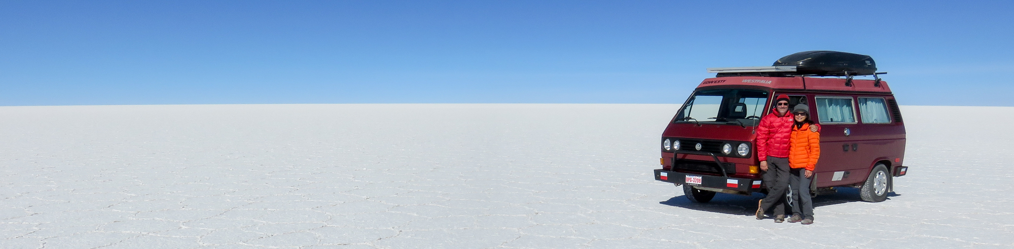
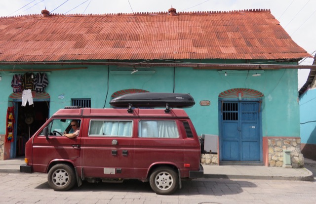
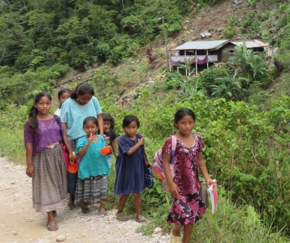
People stare at Lucky, too. The stares she gets as we drive Guatemala’s highways and city streets are a little more perplexing. Groups of gawking males sometimes whistle and call out to Lucky like she’s a stripper. Children sometimes wave at Lucky or chase her down the street like she’s an ice cream truck. Seniors at the side of the road sometimes stare at Lucky despairingly, like she’s a local transport bus that has failed to pick them up.
Whatever the intention, the whole staring thing is really uncomfortable. But I guess we didn’t embark on this journey to be comfortable. We endure the stares and the comments because they’re like a gateway to all the beautiful things this country has to offer.
Once we get past the stares, there are usually some steep slopes to climb (by van or by foot) to get to our destination. For us, the uphill battles rarely go unrewarded.
_________________________
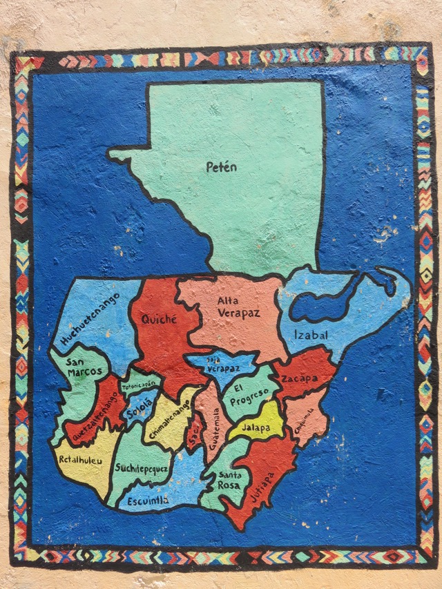
Three-Week Map
Gregor and I feel like we’ve visited a lot of places in our first three weeks in Guatemala. It’s kind of surprising, considering that we need to be in one place at least three nights each week so that Gregor can work.
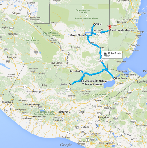

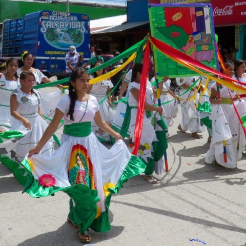
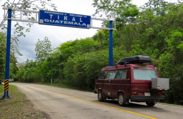
After crossing the border from Belize to Guatemala, we stopped at Melchor de Mencos to provision the van. There, we were welcomed into the country with a little street parade.

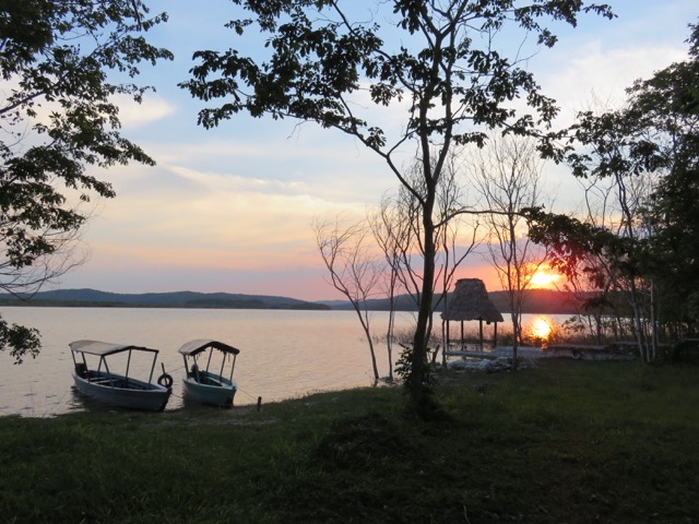
We spent our first night at Yaxha National Park, only about two hours drive away the Guatemala-Belize border.
_________________________
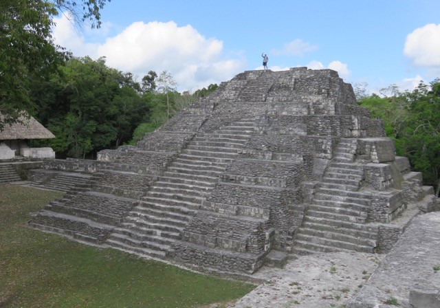
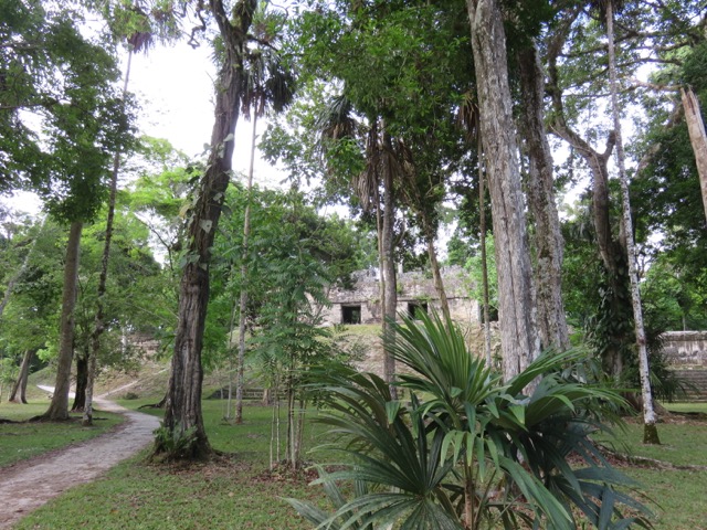
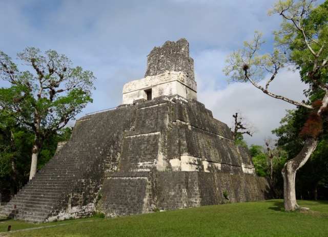
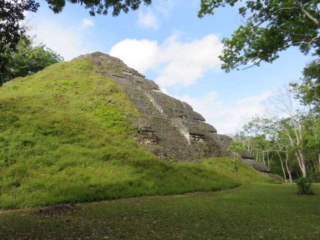
Mayan Ruins at Yaxha
An RV couple that we met in Patzcuaro, Mexico, told us about this great lakeside campground at the base of Yaxha Mayan ruins. It’s located in Parque Nacional Yaxha-Nakum-Naranjo, in the district of Peten, Guatemala. Many people overlook these ruins, opting instead to visit the nearby mothership of Guatemalan Mayan sites: Tikal.
We wondered about whether or not to stop at Yaxha – I mean, once you’ve seen one Mayan site, you’ve seen them all, right? Not so. We discovered that both the campsite and the ruins were beyond our expectations and were well worth the stop.
No swimming in this lake!

The palapa structures caught the lake breeze in the midday heat, making them a perfect place to read, meditate, and do yoga.
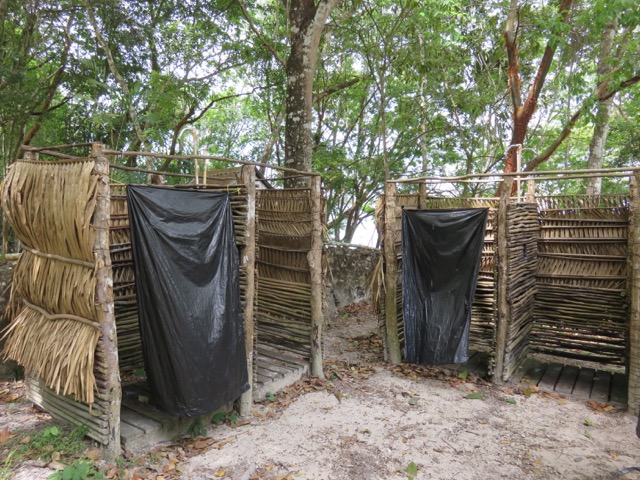
Outdoor showers. The cold, high-pressure water was very refreshing.

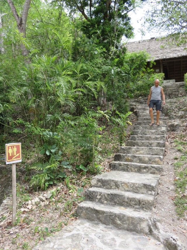
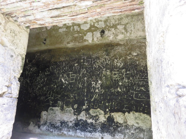
The long flight of stairs to the campground bathrooms. Obviously it was placed there to prepare us for climbing the pyramids in the park.
We camped at Yaxha with a lovely and lighthearted couple named Theo and Elefrida (Ele). Theo is Australian and Ele is South African. We first met them back at Playa El Requeson on the Baja peninsula, and met them again in our campground in San Ignacio, Belize.

Theo and Ele
Theo and Ele named their camper Haci – short for the Spanish word ‘Hacienda’, which translates to ‘estate’. Their truck’s name is B.B. – a short form of the word Bakkie (pronounced ‘buck-key’), which is South African slang for ‘pickup truck’.
All of us crossed the Guatemalan border on the same day (May 28) and ended up camping together at Yaxha and then at Tikal. We shared many travel stories over camp-cooked meals and cheap imported Spanish wine.
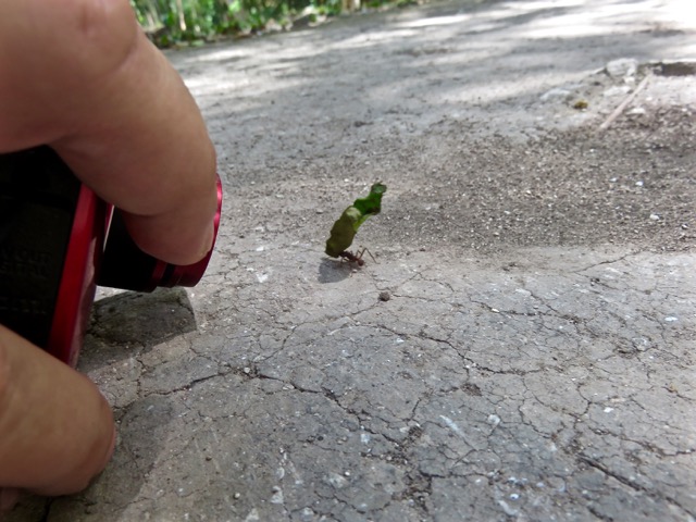
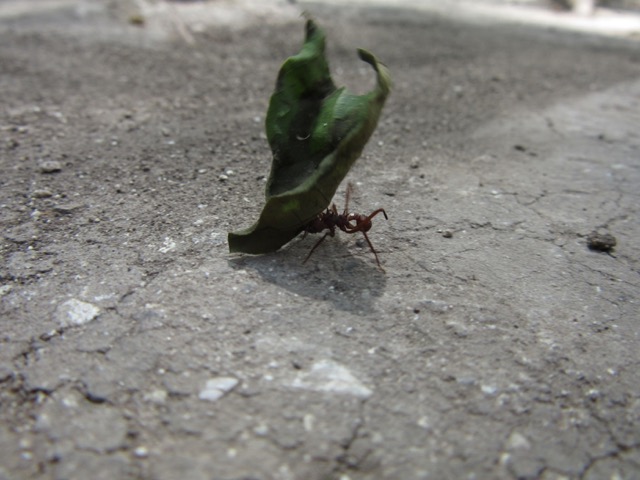
The only bad thing about Yaxha campsite was that it was crawling with ruthless biting ants.

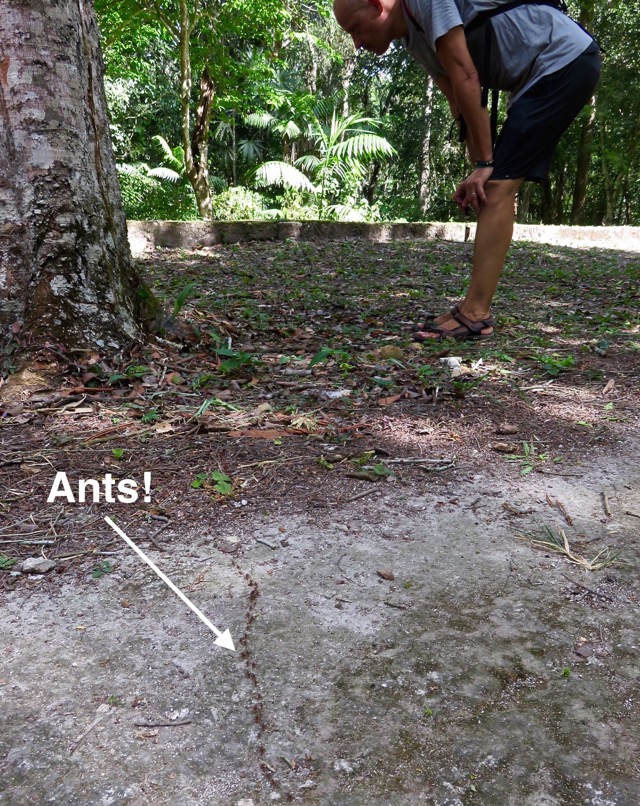
You don’t notice the ants on your feet until they bite you. Once they do, the natural reaction is to stomp your feet in hopes to shake them off and bring feeling back to your toes.
Often Gregor and I would stand in the grass around the campers, having a perfectly lovely conversation with Theo and Ele, and suddenly we’d start stomping around in our flip flops like we’re rehearsing for the opening night of Riverdance. Nasty little buggers.
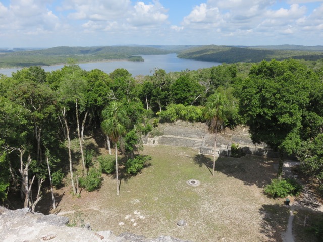
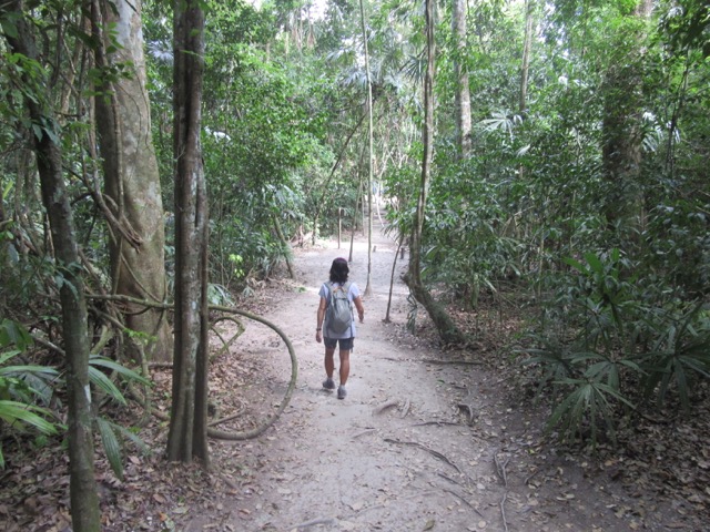
The entrance to Yaxha archeological site was just a short walk from the campsite. We set off for our self-guided tour of the ruins at 7:30 am to beat the heat and the crowds.


Plaza of the Shadows (Maler Group)
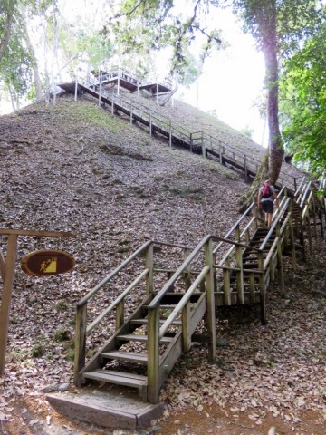

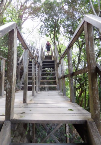
The park installed wooden stairs leading to the top of some of the pyramids to protect their painstakingly restored stone steps.
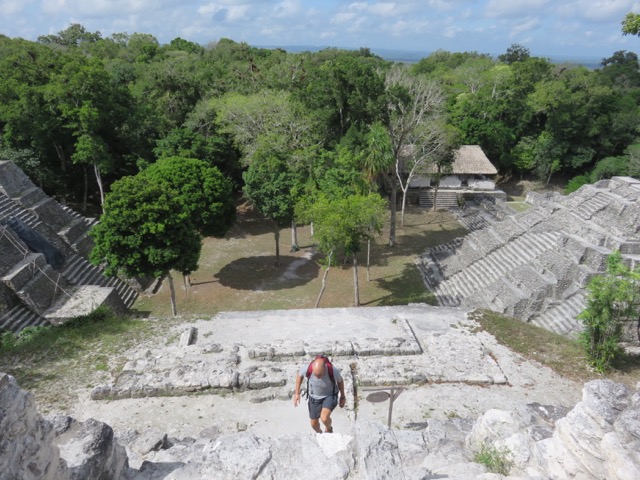
Gregor climbing the main temple at the North Acropolis
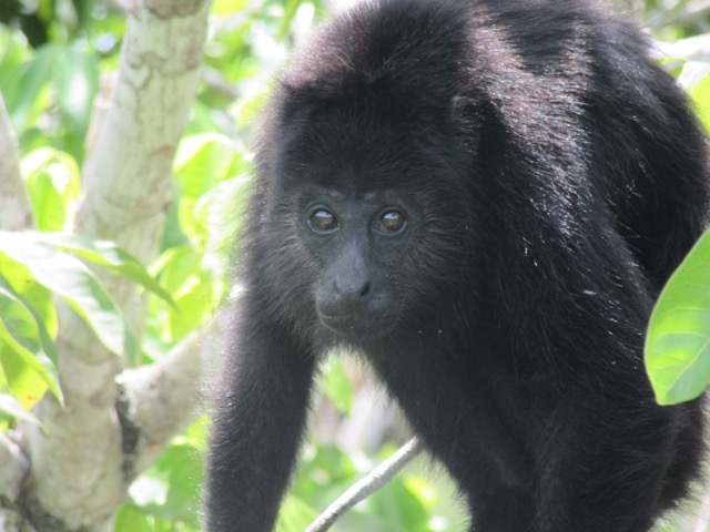
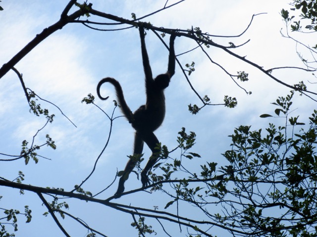
We heard lots of howler monkeys as we climbed the pyramids. Gregor managed to capture one up close.
You can hear the monster-like cries of the howler monkeys in this short video:

That’s Gregor at the top
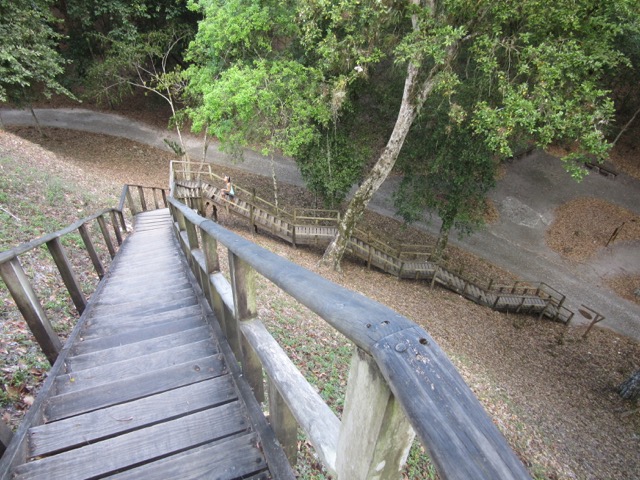
More stairs!
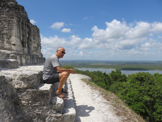
At the top of the Temple of Red Hands
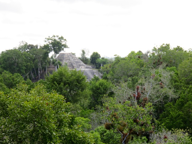
View from the Temple of Red Hands

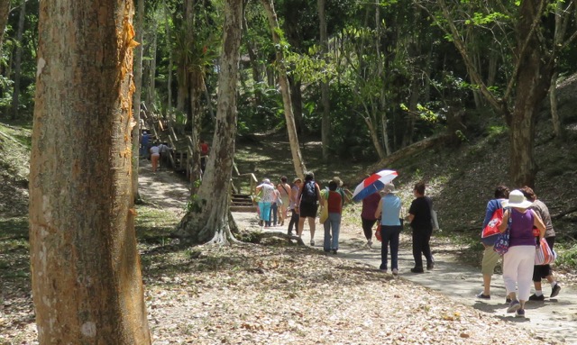
We headed back to the campground at 10:00 am, just as the crowds started coming in. Up to that point, we had seen only four other park visitors.
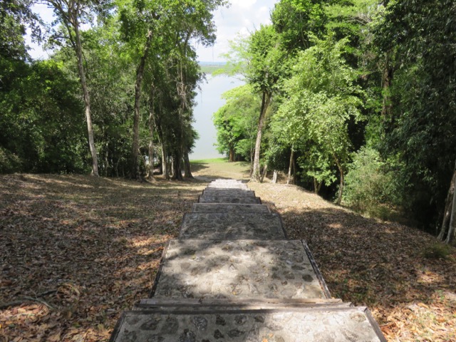
One last set of stairs down to the lake
_________________________
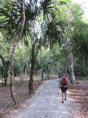
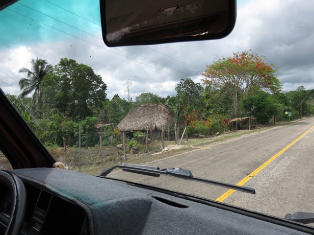
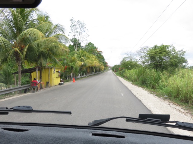
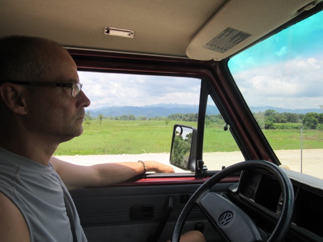
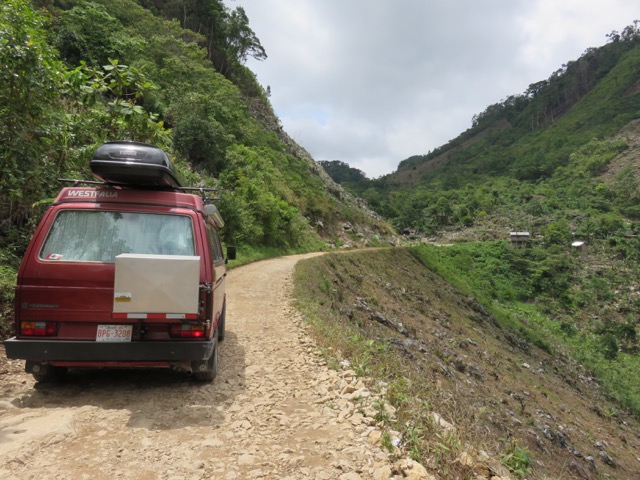
Driving through Peten
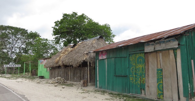
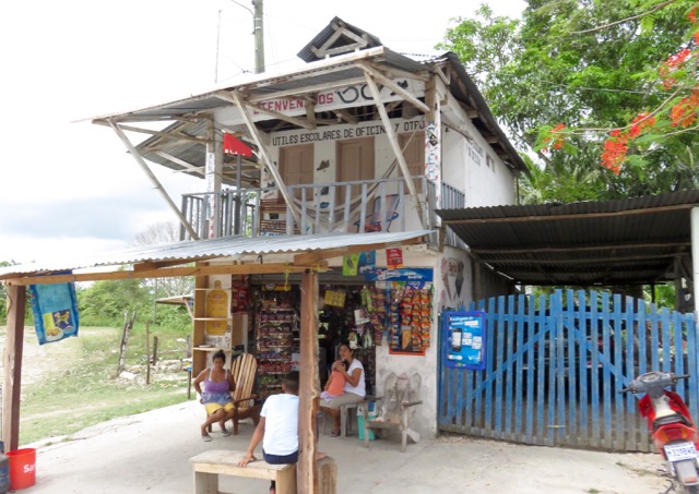
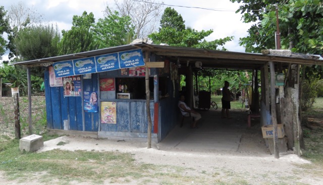
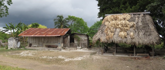
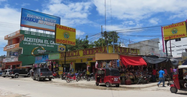
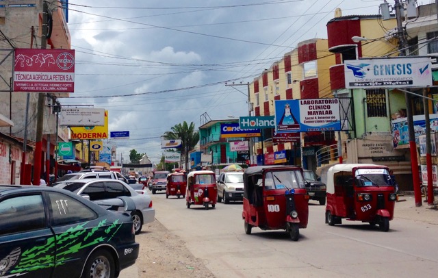
Peten is the northernmost district or ‘department’ in Guatemala. The highways here are fairly flat and in excellent shape. Compared to the tidy highways, the surrounding villages looked somewhat run-down.


_________________________
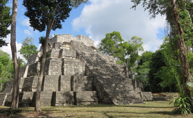
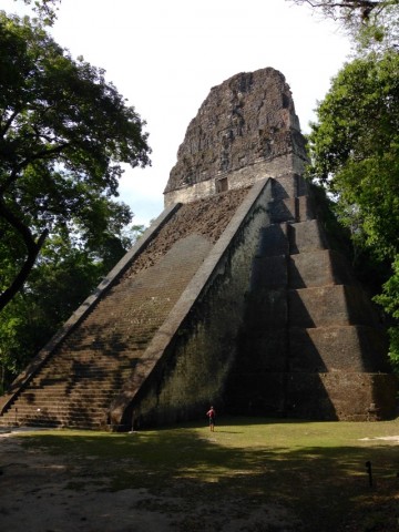
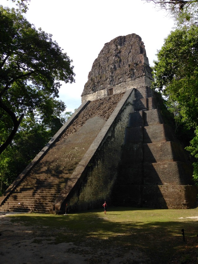
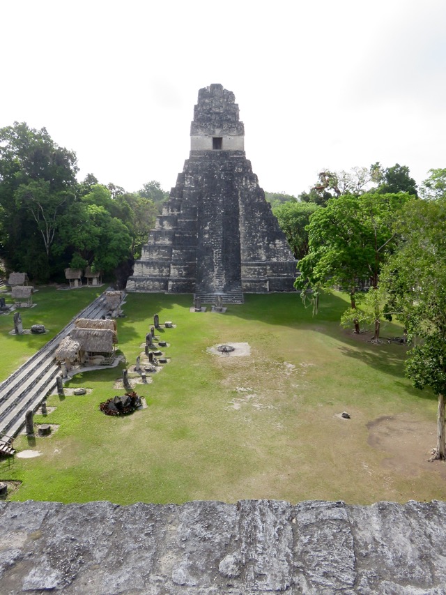
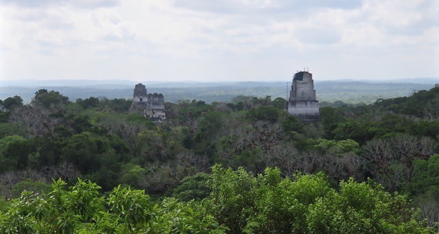
Tikal National Park
If someone told me Tikal would be the last Mayan ruins I would ever see in my lifetime, then I’d say I would die a happy woman. Tikal is the most spectacular archeological site that Gregor and I have ever seen. That said, we’ve never been to the pyramids of Chichen Itza, Palenque, or Tulum in Mexico. We’ve had every opportunity to visit these places, but we decided to hold out for the ancient city of Tikal.
Gregor at the base of Temple V, built around 700 AD. At 57 m, it’s the second largest temple in Tikal.
What we found most fascinating about Tikal was the magnitude and scale of the pyramids and the archeological site itself. The ancient city occupies over 16 sq km and comprises about 3,000 structures. The tallest restored pyramid (Temple IV) is 65 m high. There are many different pyramid complexes and each pyramid has its own character. Even the 18-kilometre drive from the park entrance to the ruins was interesting.

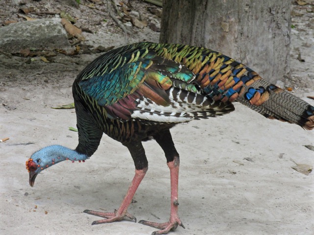
Jaguars!
We have no idea what this animal is.

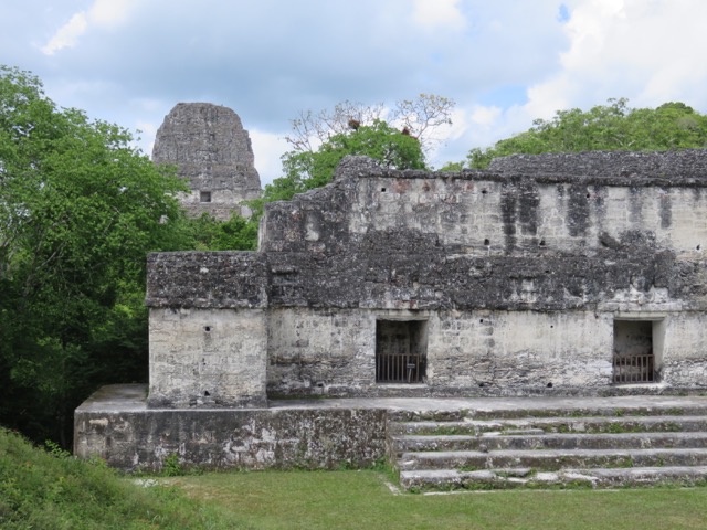
Temple I (Temple of the Great Jaguar)

Gregor on Temple II (Temple of the Masks)
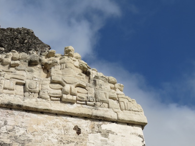
Detail on Temple of the Masks


Some people don’t seem to care that this sacred site is over 2000 years old.
Apparently, Tikal collapsed in the 9th century due to overpopulation and agrarian failure. After it was abandoned, the ancient city was taken over by the jungle.
Much respect goes out to the archeologists and local Mayan workers who restored (and continue to restore) the pyramids at Tikal and other Mayan sites. If they hadn’t unburied these structures from the encroaching rainforest, we would not be able to enjoy them today.
_________________________
Flores
After getting our fill of Mayan ruins at Tikal and Yaxha, it was time to get back to civilization so that Gregor could work. So we headed for the pretty island town of Flores.

You can actually drive onto the tiny island thanks to a causeway that connects it to the more industrial town of Santa Elena.

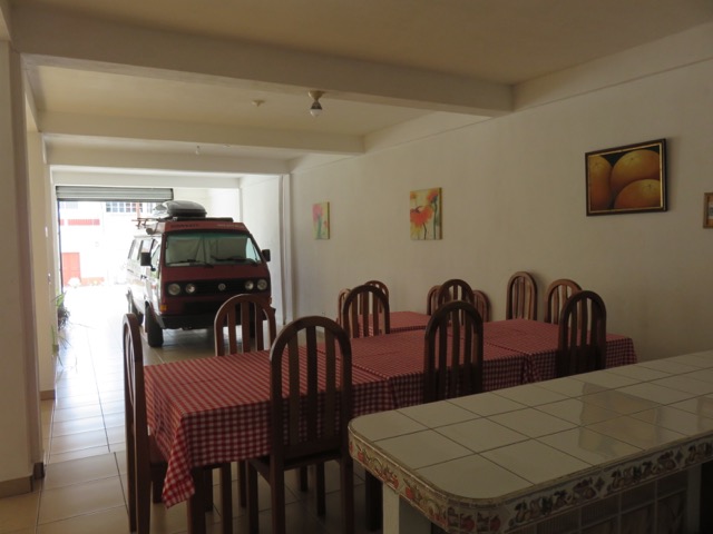
Originally, we wanted to stay in a hotel in Flores so that we could work in a more climate-controlled environment (it was 32 deg C inside the van most days, making it impossible to be productive).
We didn’t realize how constricted the island was until we got there. The cobblestone streets were steep and narrow, and there was no secure (gated) parking area that was tall enough for Lucky.


Thinking primarily of Lucky’s security, we opted to leave the cute little island of Flores and get a more practical hotel room in the neighbouring town of Santa Elena.
_________________________
Santa Elena


Santa Elena certainly isn’t as cute as Flores, but it had everything we needed. A few wrong turns and my Spidey Senses led us to Hotel Explore Lodge, an austere place that had a spotless communal kitchen and a very secure parking spot for Lucky.
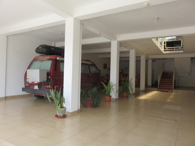
Indoor parking!
We could gaze lovingly at Lucky from the communal kitchen.

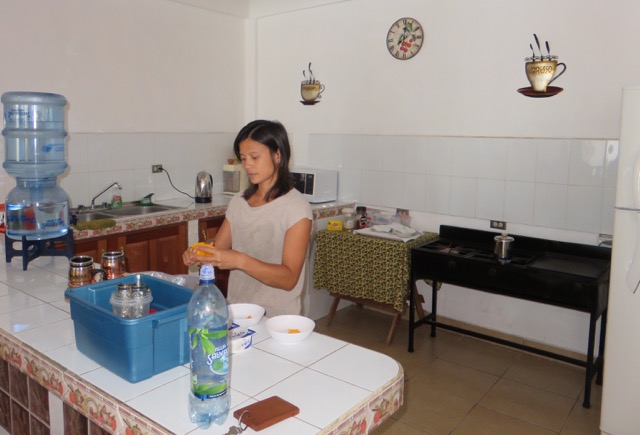
Coffee is percolating on the stove and I’m peeling a mango to accompany our yogurt and granola breakfast.
Although the hotel room was really plain, it had blazing fast wifi, sparkling clean hot showers, and remote controlled air-conditioning (luxury!). It was also walking distance to the central street market and dirt-cheap grocery stores.
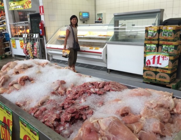

That’s pre-cooked chicken in my hand. We weren’t ready to deal with the raw chicken yet.
We paid 250 GTQ (42 CAD) per night at Hotel Explore Lodge. Not the cheapest in the land, but we still stayed well within budget.
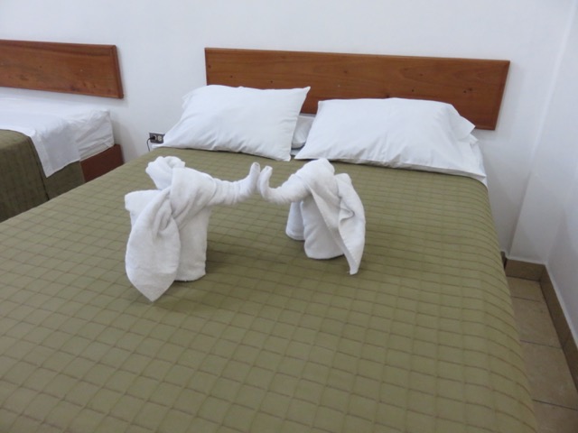
I forgot to mention that the hotel price included towel sculptures.
_________________________
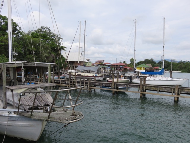
Rio Dulce
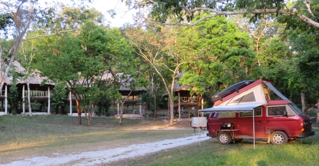
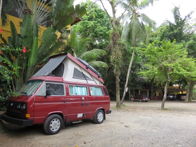
Hotels are pretty cheap in Guatemala, but camping is definitely much cheaper. At Rio Dulce, we paid 75 GTQ (12 CAD) per night to camp in the parking lot of Bruno’s Marina.

Here’s a video of the drive through downtown Rio Dulce (shot with an iPhone 5S using the Hyperlapse app):
_________________________
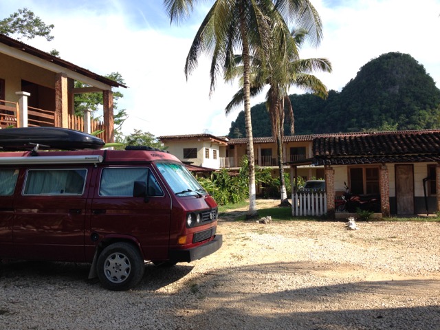
Raxruha
From Rio Dulce, we drove on a brand new highway towards Raxruha, where we set up base to visit the Candelaria Caves and put in a few days of work.


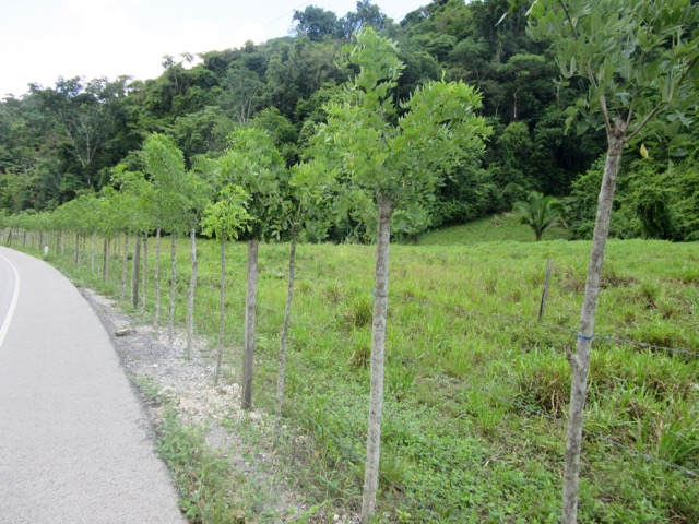
Living fences
Once again, it was stinking hot in the van, so we stayed in a hotel to save ourselves and our computers from melting. Our room at Hotel Cancuen cost 120 GTQ (20 CAD) a night – no aircon, no hot water, no wifi, but there was secure overnight parking for Lucky.
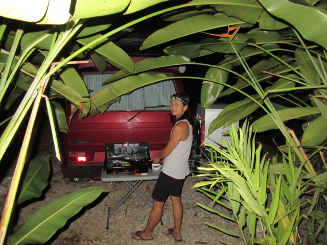
Cooking in the parking lot
_________________________
Candelaria Caves
Unfortunately our photos from Candelaria Caves didn’t turn out very well, but here’s a few to give you an idea of what it was like:

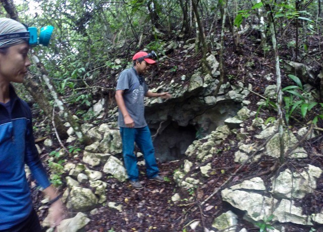

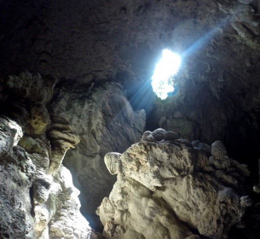

Basically, instead of climbing upwards, we climbed downwards. This wasn’t one of those hyper-organized, stay-on-the-path, safety-first kind of caving tours (which we’ve enjoyed in the past). This was much more primitive and really fun.
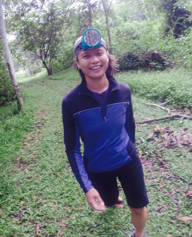
Our Spanish-speaking guides, Rudy and Renaldo, were like climbing buddies who were just casually showing us around a local cave system. We walked on slippery unmarked paths, crawled down super tight passageways, and bumped our heads on bat-infested caverns. In the open spaces where sunlight streamed in, we could see broken ceramic artifacts left by the Mayan people.
We visited four caves, hiked to two cenotes (sinkholes), and went tubing in an underground river for 250 GTQ (42 CAD) per person.

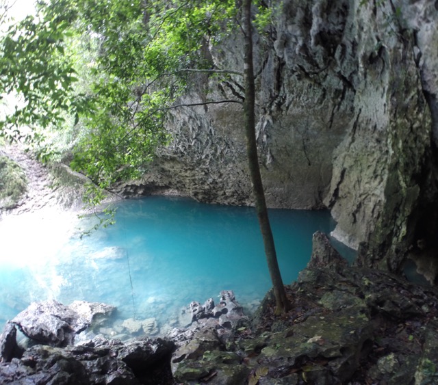
Turquoise blue cenote
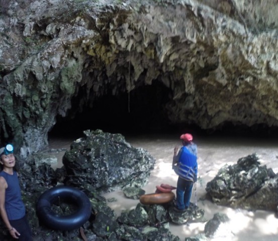

Our starting point for the tubing trip
Towards the end of our tubing expedition, Gregor’s tube punctured on the underground rapids. On top of that, his headlamp batteries started to die. Rather than panic on his sinking vessel, he pinched the hole closed between his legs and started laughing his head off. My husband looked like a little boy holding his wee, giggling as he floated down the river.
By the time we got out of the water, the tube was completely deflated and the only thing keeping Gregor afloat was his safety vest. Gregor loved every minute of it. So did I.
_________________________
Wicked Road from Raxruha to Coban
There’s a 50-km stretch between Raxruha and Coban that is just NAS-ty. Without warning, we went from a nicely paved, wide highway to a rocky, single-lane, potholed road that was steep and winding. The road was so rough that it almost shook the teeth out of our heads.
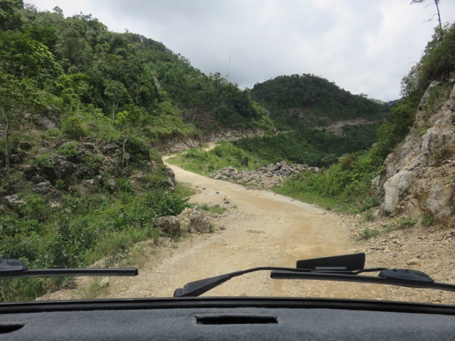
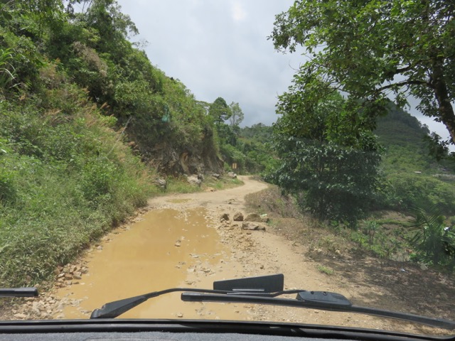
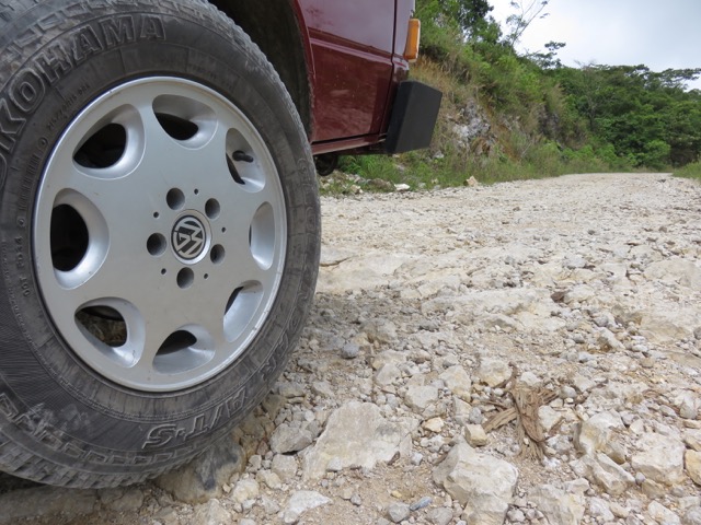


With Gregor’s expert driving skills and my cheerleading efforts (“Come on, Lucky, you can do it!”, “Excellent evasive maneuvers, Gregor!”), our brave little van successfully made it through those 50 km in 2.5 hrs. That’s 20 km/hr in 1st gear most of the way.
_________________________
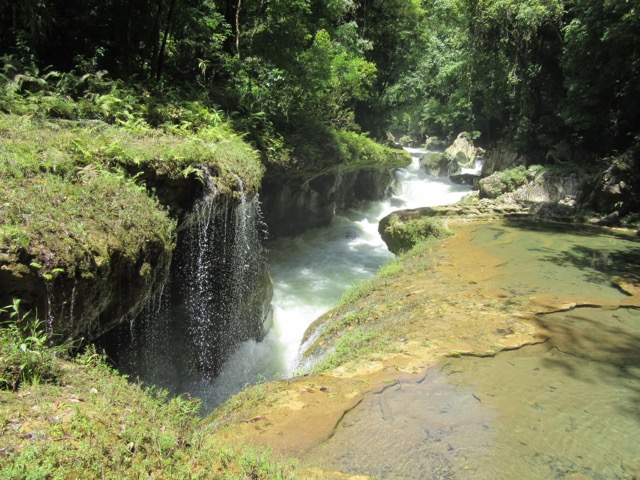
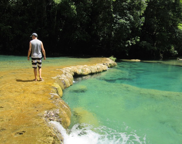
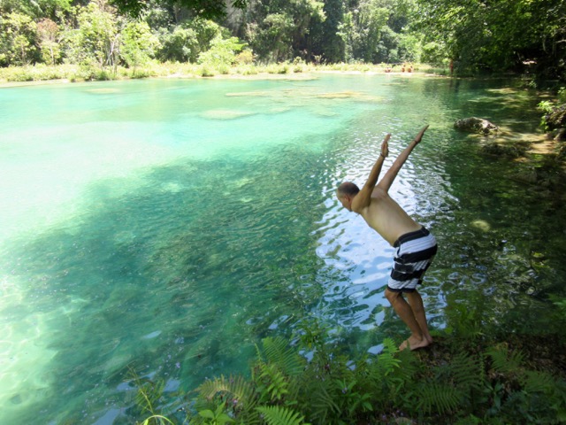
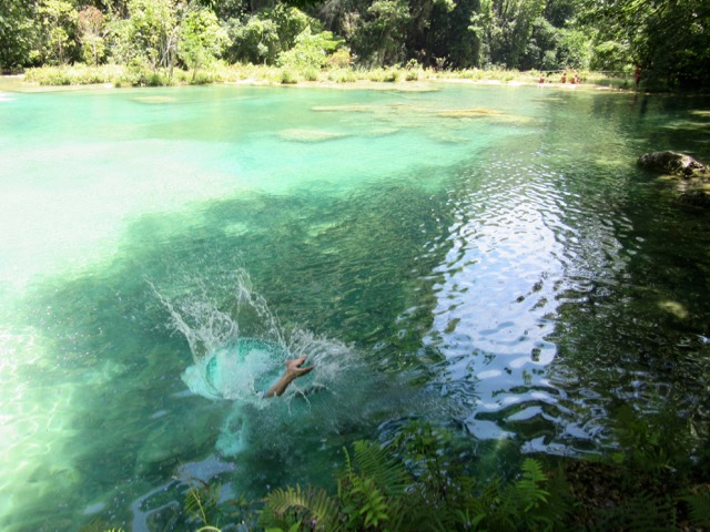
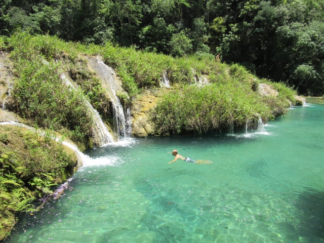
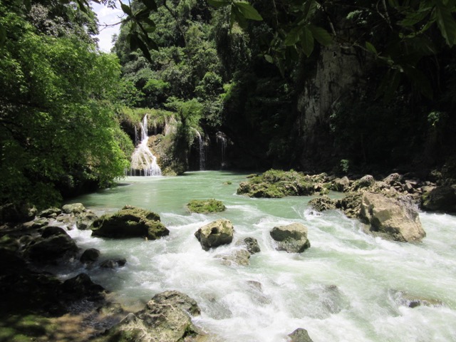
Limestone Pools of Semuc Champey
The stepped, turquoise pools of Semuc Champey are rated as a top natural attraction in Guatemala. Gregor and I originally hummed and hawed about seeing these pools, thinking that they were just all hype. Probably just glorified swimming holes, we thought.
Fortunately, I have this irrational fear of Regret – the regret of passing up a once-in-a-lifetime opportunity. I needed to know if Semuc Champey was all it was cracked up to be.
Ultimately, it exceeded our expectations…

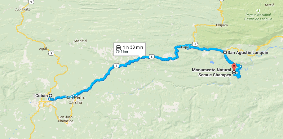
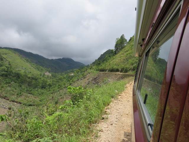
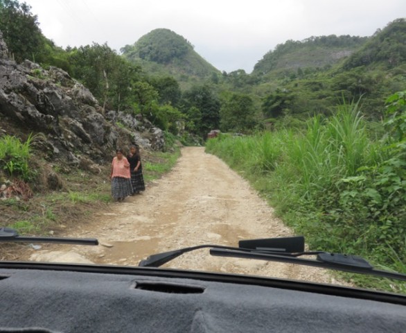
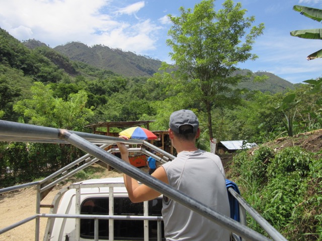
To get to Semuc Champey, you first have to exit the nicely paved Highway 5 and descend a steep narrow gravel road down to San Augustin Lanquin (locally known as ‘Lanquin’).
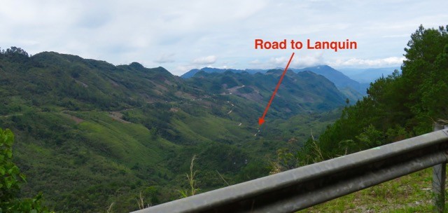

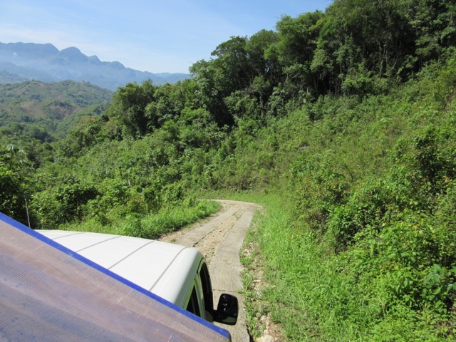
From there, it’s a 14-km drive on an even narrower, steeper, and rockier road to the entrance of the Semuc Champey pools. We actually attempted this road, but decided to turn around because Lucky’s back axles started clunking loudly on the steep switchbacks. Apparently, her CVs don’t like being pushed that way.
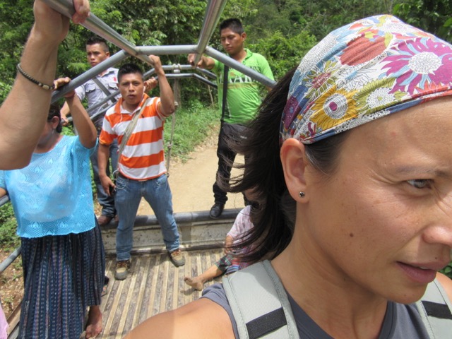
Rather than make Lucky suffer, we left her at a hostel in Lanquin and took a local pickup truck to the pools.
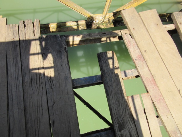
Gregor would have never driven Lucky over this bridge.

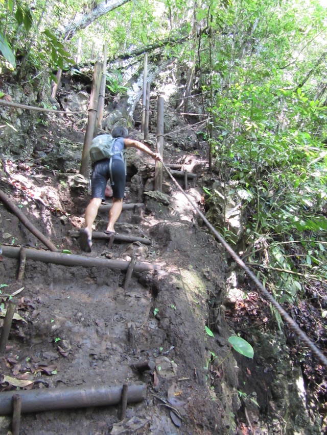
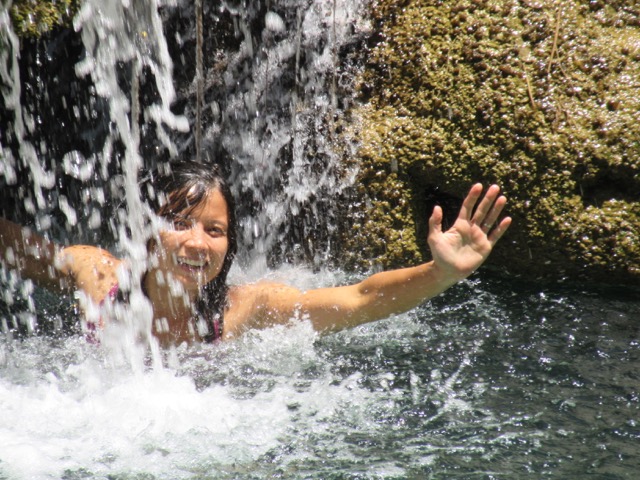
Steep stairs to the viewpoint
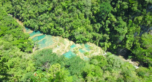

Totally worth the climb! (Click on this photo to see a larger version)

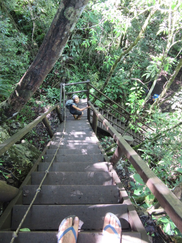
More stairs!

The pickup truck ride back to Lanquin was super fun, too.

_________________________
During our first three weeks in Guatemala, we realized that Lucky can’t always be the super-vehicle that we’d like her to be.
She’s not the perfect office on those searing hot days.
She can’t be left unattended in just any old parking lot.
She’s not a beastly 4×4 that can climb every slope.
But she gets us to where we want to go.
As long as we can get past a few uncomfortable steps (and stares), there’s no holding us back.
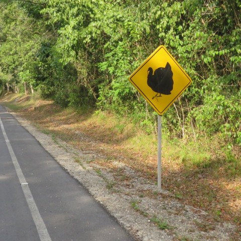
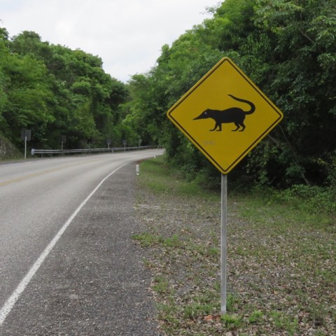
The animal on that sign is a coati! 🙂
Thank for letting us know!